(Totals include all Rest week activities)
 |
 Sunday, July 17 ~ Cedar River Trail ~ Cycling
Distance: 10.48 mi.
Time: 1:00:28
Vertical: 120 ft.
Bike ride with Dad and Charlie on the Cedar River Trail. A light mist kept things cool, felt good to pedal around.
 Monday, July 18 ~ Loop O' Joe-Gee'Z' ~ Running
Distance: 6.25 mi.
Time: 0:55:34
Vertical: 549 ft.
Max F. and I ventured to the trail and found some road. We made a fun little loop and both decided we didn't feel all that great and the pace showed it.
 Tuesday, July 19 ~ May Creek Trail Search (didn't find) ~ Running
Distance: 6.00 mi.
Time: 0:51:21
Vertical: 591 ft.
I searched and searched for a trail that's labeled on one of my maps, but I just haven't found it, yet. So, ran an out and back on the road in trail shoes. Not my favorite, but doable.
Wednesday, July 20 ~ Rest Day
Thursday, July 21 ~ Rest Day
 Friday, July 22 ~ Coal Creek Parkway Trail ~ Running
Distance: 3.52 mi.
Time: 0:32:46
Vertical: 388 ft.
Definitely developed a chest cold, today's run didn't not feel well. But it was good to get a lot of heavy breathing to clear some of the congestion out. Hopefully it won't effect my ability to hike tonight. Got a great planned hiked from Paradise to Camp Muir at midnight. Tested out some Montrail Rogue Racer's today. I'll post a review after I've run about 50 miles in them.
Saturday, July 23 ~ Paradise to Camp Muir ~ Hiking/Mountaineering
Distance: 7.97 mi.
Time: 6:23:35
Vertical: 4,667 ft.
Erin S. took me on my first adventure up a sizable chunk of Mount Rainier. Couldn't have been better. We left my apartment at 10:00 PM, started hiking around 1:00 AM, and I went to work at 10:30 AM for a 9.5 hour work day. The adventure was amazing and the company was just as good as the hike. I did make the rookie mistake of not wearing enough clothing. Lesson learned.
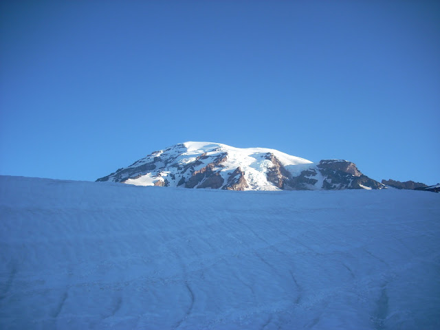
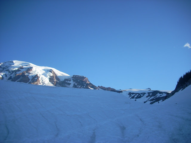
Here are the maps, elevation profiles and some great pictures. Click the photos for a larger size.
 |
| The view of the mountain on the hike up. Depending on your screen resolution you can kind of see it. |
 |
| Erin S.'s silhouette against a Left Coast Sunrise at 8,881 ft. |
Above photo local: 46° 49.479' N 121° 43.722' W
 |
| Erin S.'s silhouette against a Left Coast Sunrise at 8,881 ft. |
 |
| A Mountaineers Bikini pose. |
 |
| That's a steep grade. Disappointment Cleaver, and Summit in this photo. |
 |
| Mount Adams. Erin S. schooled me on identifying distant mountains. I owe her dinner, now, due to a lost bet. <Sigh> |
 |
| Fun ice formations. Tough descending. |
 |
| Mount Rainier Summit |
 |
| Our route and elevation profile. |

No comments:
Post a Comment